
QLD · North Queensland
Stop digging blind near Charters Towers — read the ground before you leave home
Most prospectors walk straight past the best ground near Charters Towers. They dig the obvious spots. The gold is in the trap zones — and they're not obvious.
DigMate reads the terrain and shows you exactly where gold settles. The website shows you the area. The app shows you the dig lines.
Open DigMate for Charters TowersAI TERRAIN ANALYSIS
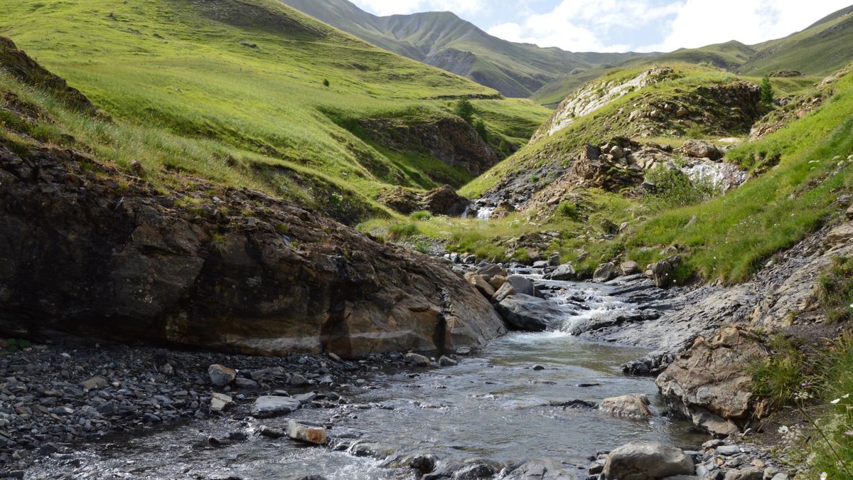
Where gold is actually hiding near Charters Towers
Charters Towers sits on the Charters Towers Province, a Proterozoic terrane with gold-bearing quartz reefs along the Mosgardies Shear Zone. The Devonian gold ore bodies were deposited by hydrothermal fluids. Alluvial gold has been shed into the Burdekin River catchment.
Millchester Creek and the Burdekin River tributaries carry alluvial gold from the surrounding ranges. The flat terrain means gold concentrates at bedrock exposures and in ancient drainage channels.
Mosgardies Shear Zone Contact
WHAT YOU GET
The website shows general zones.
The app shows exact dig lines.
- General gold area overview
- Historical workings summary
- Creek system description
- Top 3 terrain indicators
- 1 zone score (blurred detail)
- Exact dig lines with GPS coordinates
- Full Best Zones overlay (all areas)
- AI terrain scan on any drop pin
- Gold line prediction from your finds
- Trip tracking + finds log
- Rock ID and mineral analysis
- Community intel (ghost pins)
UNLOCK EXACT GOLD LOCATIONS
Scan the Charters Towers goldfield with DigMate
Stop guessing. DigMate reads the terrain around Charters Towers and shows you exactly where to dig — before you leave home.
Open DigMate FreeFree to start · No credit card required
PROVEN GROUND
Prospectors using DigMate near Charters Towers have found…
The 1872 gold rush transformed Charters Towers into a major city. The field produced over 6.6 million ounces from reef and alluvial workings. Young's Block fossicking area 15 km from town is a designated public fossicking area still producing gold.
"Found colour on my first session using the Best Zones overlay. Would have walked straight past that bend."
"The drop pin AI scan told me exactly where to dig. Saved me half a day of guessing."
"I've been prospecting for 12 years. This is the first app that actually understands how gold moves."
Fine to medium alluvial gold in creek systems. Specimen gold in quartz reef country.
mixed
intermediate
NEARBY GOLD AREAS
More ground worth checking
COMMON QUESTIONS
Charters Towers Gold Prospecting FAQ
Is Young's Block still productive?
Yes. Young's Block fossicking area is a designated public fossicking area 15 km from Charters Towers. It is known as a collecting locality for gold and is regularly visited by prospectors.
Do I need a licence to fossick near Charters Towers?
QLD does not require a fossicking licence for adults on designated fossicking areas. Young's Block is a designated area. Always check current land status and comply with QLD fossicking laws.
What is the best time of year to prospect near Charters Towers?
The dry season (May–October) is best. The wet season brings flooding that makes creek access difficult. Dry season exposes bedrock and concentrates gold in accessible trap zones.
Find gold near Charters Towers with AI terrain analysis
DigMate shows you the exact dig lines, depth indicators, and trap zones near Charters Towers. Plan your session before you leave home.
Open DigMate Free