
WA · Mid West / Murchison
Stop digging blind in the Murchison — read the ground before you leave home
Most prospectors walk straight past the best ground near Murchison. They dig the obvious spots. The gold is in the trap zones — and they're not obvious.
DigMate reads the terrain and shows you exactly where gold settles. The website shows you the area. The app shows you the dig lines.
Open DigMate for the MurchisonAI TERRAIN ANALYSIS
Where gold is actually hiding near Murchison
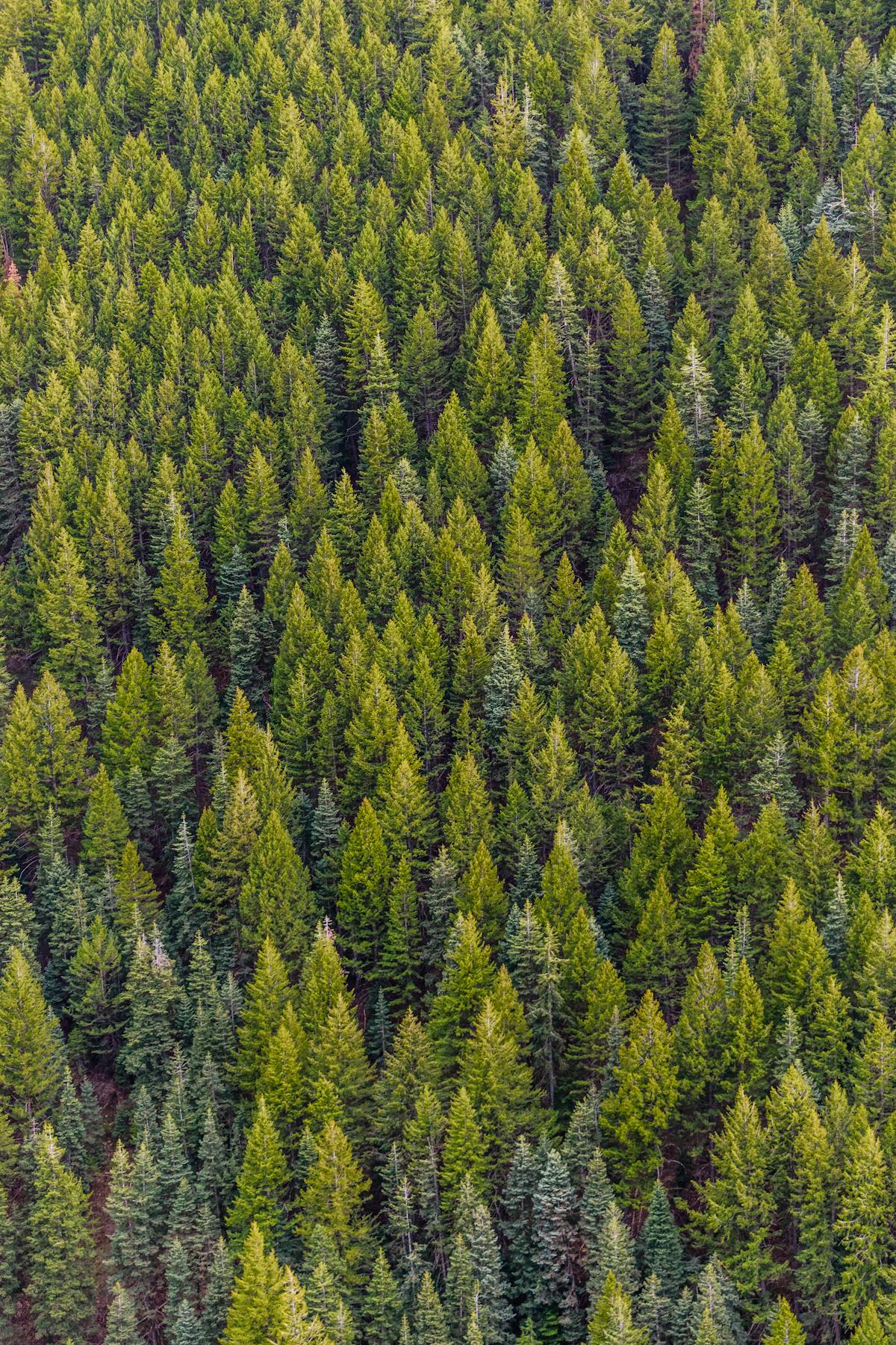
The Murchison region sits on Archaean greenstone belts of the Yilgarn Craton. Gold is associated with shear zones, quartz reefs, and BIF contacts. The region has produced significant nuggets and is considered one of WA's most prospective areas for recreational detecting.
The Murchison River and its tributaries drain the region. Ephemeral creeks concentrate alluvial gold at bedrock exposures and inside bends. Salt lakes and calcrete horizons also trap residual gold from eroded reefs.
Greenstone Shear Zone
WHAT YOU GET
The website shows general zones.
The app shows exact dig lines.
- General gold area overview
- Historical workings summary
- Creek system description
- Top 3 terrain indicators
- 1 zone score (blurred detail)
- Exact dig lines with GPS coordinates
- Full Best Zones overlay (all areas)
- AI terrain scan on any drop pin
- Gold line prediction from your finds
- Trip tracking + finds log
- Rock ID and mineral analysis
- Community intel (ghost pins)
UNLOCK EXACT GOLD LOCATIONS
Scan the Murchison goldfields with DigMate
Stop guessing. DigMate reads the terrain around Murchison and shows you exactly where to dig — before you leave home.
Open DigMate FreeFree to start · No credit card required
PROVEN GROUND
Prospectors using DigMate near Murchison have found…
The Murchison goldfields were worked from the 1890s. Towns like Meekatharra, Cue, and Day Dawn grew around rich reef and alluvial deposits. Many areas were abandoned due to remoteness rather than exhaustion, leaving productive ground for modern prospectors.
"Found colour on my first session using the Best Zones overlay. Would have walked straight past that bend."
"The drop pin AI scan told me exactly where to dig. Saved me half a day of guessing."
"I've been prospecting for 12 years. This is the first app that actually understands how gold moves."
Large nuggets and specimen gold in greenstone reef country. Coarse alluvial gold in creek beds.
detecting
experienced
NEARBY GOLD AREAS
More ground worth checking
COMMON QUESTIONS
Murchison Gold Prospecting FAQ
Is the Murchison accessible for recreational prospectors?
Yes, but it requires preparation. Roads are unsealed and distances are large. A 4WD, water, and fuel reserves are essential. The reward is access to some of WA's least-pressured goldfields.
What licence do I need in the Murchison?
A WA Miner's Right ($25.35/year) is required. The Murchison has extensive mining tenements — always check tenement status before you dig. DigMate's legal overlay shows current leases.
What size nuggets can I expect in the Murchison?
The Murchison is known for large nuggets. Finds of 1–10 oz are not uncommon in productive areas. The region has produced nuggets over 100 oz historically.
Find nuggets in the Murchison with AI terrain analysis
DigMate shows you the exact dig lines, depth indicators, and trap zones near Murchison. Plan your session before you leave home.
Open DigMate Free