
VIC · Northeast Victoria
Stop digging blind at Eldorado — the dredge field still holds gold the machines missed
Most prospectors walk straight past the best ground near Eldorado. They dig the obvious spots. The gold is in the trap zones — and they're not obvious.
DigMate reads the terrain and shows you exactly where gold settles. The website shows you the area. The app shows you the dig lines.
Open DigMate for EldoradoAI TERRAIN ANALYSIS
Where gold is actually hiding near Eldorado
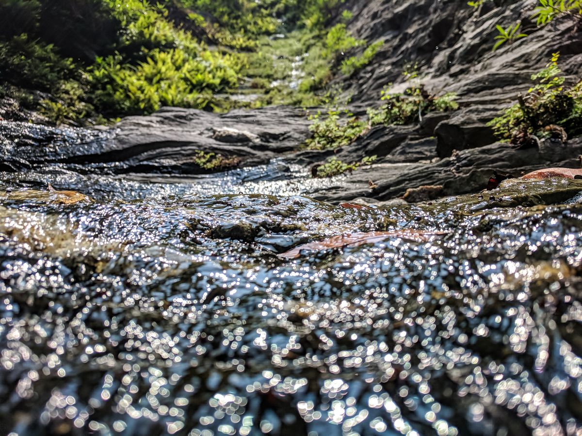
Eldorado sits on Ordovician metasediments with quartz reef development. The Reedy Creek system at Eldorado has some of the most productive alluvial geology in Northeast Victoria, with gold concentrated in bedrock traps and clay layers.
Reedy Creek at Eldorado and its tributaries are the primary systems. The creek has been extensively worked but productive ground remains, particularly in areas the dredge could not access.
Reedy Creek Dredge Tailings Zone
WHAT YOU GET
The website shows general zones.
The app shows exact dig lines.
- General gold area overview
- Historical workings summary
- Creek system description
- Top 3 terrain indicators
- 1 zone score (blurred detail)
- Exact dig lines with GPS coordinates
- Full Best Zones overlay (all areas)
- AI terrain scan on any drop pin
- Gold line prediction from your finds
- Trip tracking + finds log
- Rock ID and mineral analysis
- Community intel (ghost pins)
UNLOCK EXACT GOLD LOCATIONS
Scan the Eldorado dredge field
Stop guessing. DigMate reads the terrain around Eldorado and shows you exactly where to dig — before you leave home.
Open DigMate FreeFree to start · No credit card required
PROVEN GROUND
Prospectors using DigMate near Eldorado have found…
Eldorado was worked intensively by bucket dredges from the 1930s to the 1950s. The dredge processed enormous volumes of material but inevitably missed gold in bedrock crevices, clay layers, and areas the dredge could not reach. The historic dredge is still on display at the site.
"Found colour on my first session using the Best Zones overlay. Would have walked straight past that bend."
"The drop pin AI scan told me exactly where to dig. Saved me half a day of guessing."
"I've been prospecting for 12 years. This is the first app that actually understands how gold moves."
Fine alluvial gold in creek gravels. Gold in bedrock crevices and clay layers that the dredge missed. Occasional small nuggets.
alluvial
intermediate
NEARBY GOLD AREAS
More ground worth checking
COMMON QUESTIONS
Eldorado Gold Prospecting FAQ
Is there still gold at Eldorado after the dredging?
Yes. Dredges process large volumes but miss gold in bedrock crevices, clay layers, and areas they cannot physically reach. Modern prospectors with detectors and crevicing tools can find what the dredge left behind.
Can I visit the historic dredge at Eldorado?
Yes. The Eldorado Dredge is a heritage site and tourist attraction. Check opening times before visiting.
Find what the dredge missed at Eldorado
DigMate shows you the exact dig lines, depth indicators, and trap zones near Eldorado. Plan your session before you leave home.
Open DigMate Free